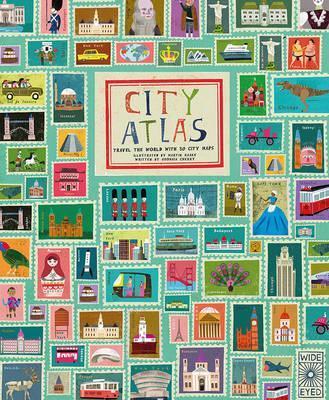
8 books with maps to help children understand borders and countries
/


One of our favourite family pastimes is planning trips. (We plan many more trips than we actually take!) Ivy gets into it too, she has plans to see sharks in the Great Australian Bite, visit the Eiffel Tower and go to Japan—no prizes for guessing where we’ve been talking about going lately.J
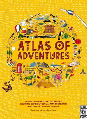
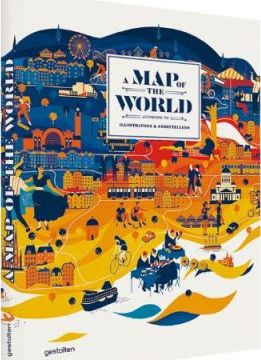
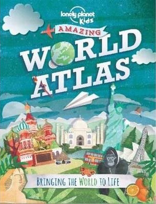
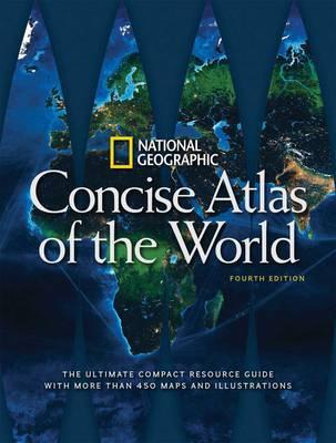
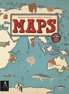
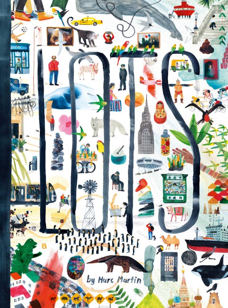
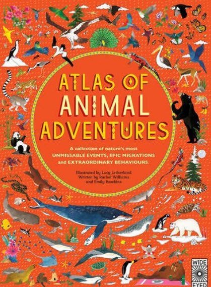
As well as trip planning, books with maps are great for learning about borders and sovereignty. Those are tricky concepts, but they so often play a pivotal role in refugee stories. So, to complement this week's posts on the subject of refugees, I've brought together this collection of 8 books and atlases in a mix of traditional, to-scale and modern artistic versions.
They’re all gorgeous to look at and read—hours of happy trip planning and learning right here!


My small reading hints :
If possible, having a globe nearby when you’re reading an atlas is good—it helps to give a sense of scale and makes it easier to spot the quickest routes between countries on a globe.
Also, for some sense of scale it can be helpful to look at the scale on a map and then drive (or walk, if you’re really feeling it) the distance of the smallest marker.
Actually, travelling overland helps with conceptualising the larger distances on a map. (So if the scale is 1cm:10km, you’d drive 10km and then look at how far that takes you on a map. That would be a pretty large scale map, but you get the idea.)
I hope you find something for your library amongst that group—they're all great for kids and the rest of us, say 3-years-old and up.
P.S. The images are linked to Book Depository but here's our Amazon link if you'd like to search for them there.